
Spatial Consultancy Services and GIS Consultancy Services
Technology Driven Ecology
At E2M, we’re focused on creating efficiencies through technology driven ecology for our Clients. Through our GIS and Spatial consulting Services our dedicated team of spatial ecologists help organisations to visualise, analyse and manage geographical insights and identify patterns to inform and expedite decision making. This supports and drives efficiency across planning and development activities for projects across Queensland.
Our highly qualified and experienced team of Terrestrial Ecologists bring knowledge from the field combined with the latest technologies to customise data capture methodologies and mapping solutions according to asset type and other environmental factors. This drives cost and time efficiencies for Clients on every project we’re involved with.
The data capture and data management solutions provided by E2M are safe, reliable, secure and accurate, bringing a new level of project and environmental insights through interactions with real time data where networks allow resulting in more balanced and commercially informed environmental outcomes for our clients.
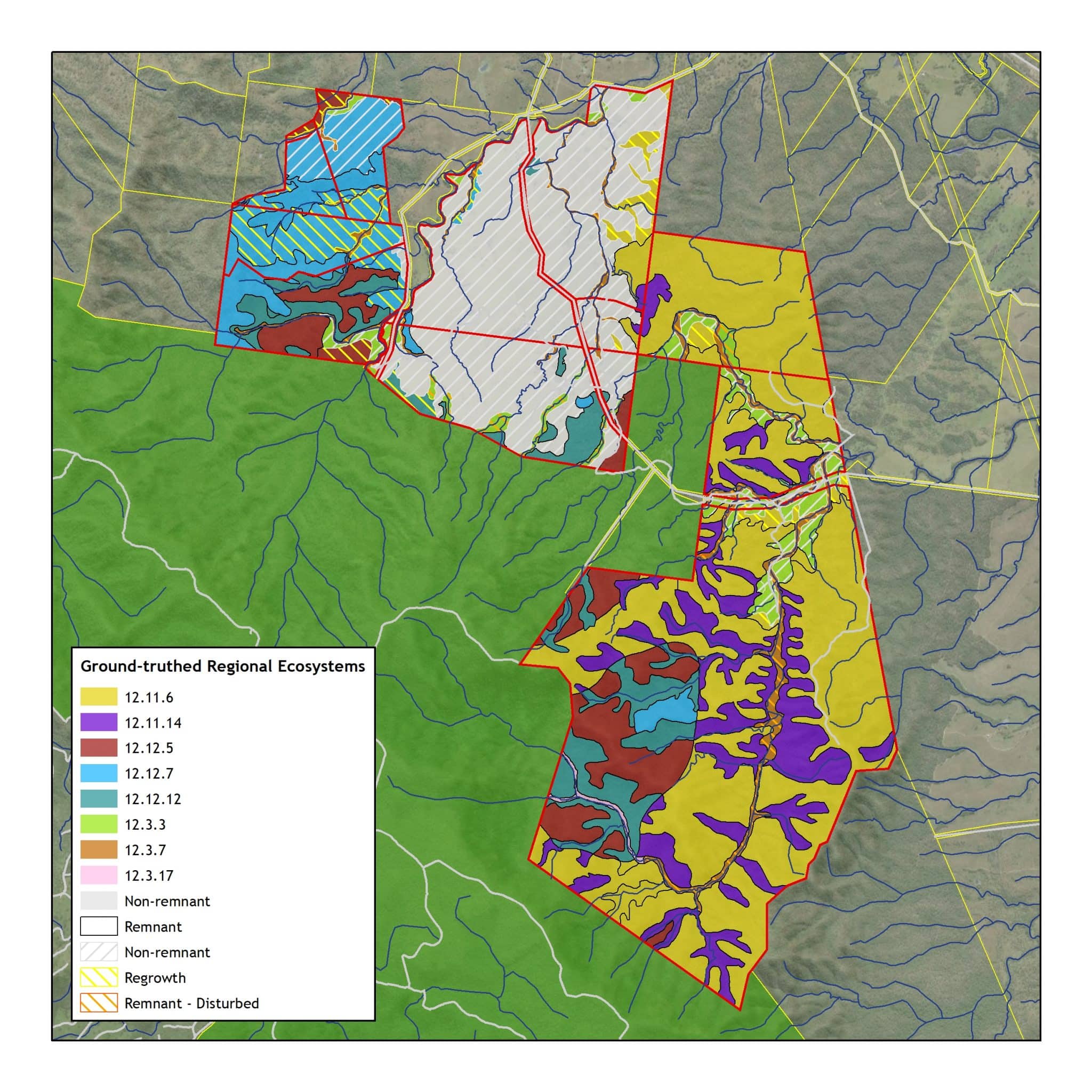
Our GIS and Spatial Services include:
- Cloud based GIS and Spatial data analysis
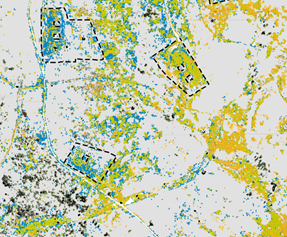
- Remote sensing
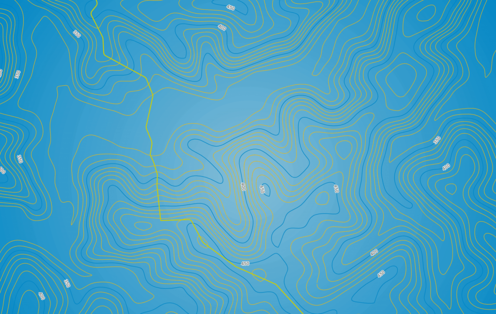
- Cartography / map production
- Visual impact assessment
- Data acquisition and data capture programs
- Data storage, management and modelling